Last Updated by Bist LLC on 2025-04-11
What is i-Boating Spain?
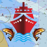
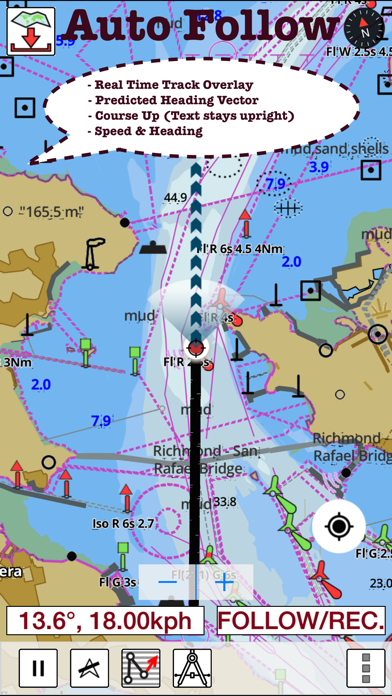
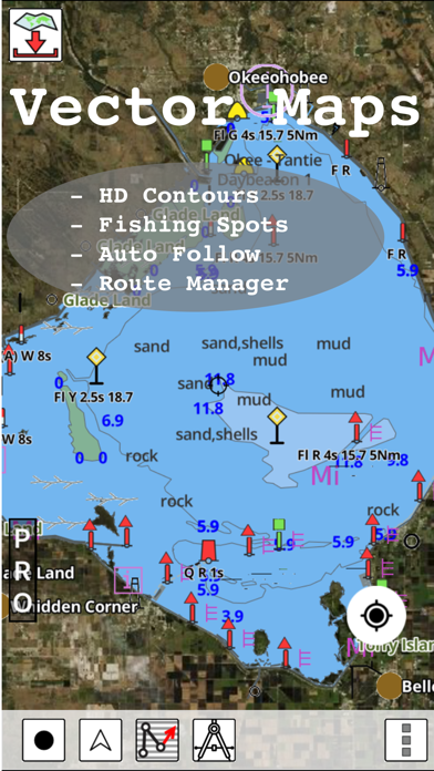
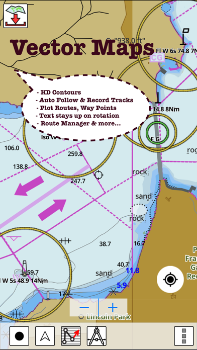
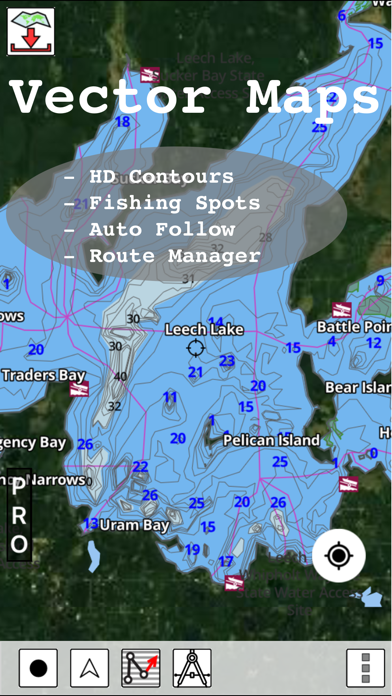
The GPS Marine Charts App provides access to charts covering Spain waters derived from IHM data. It is the only marine GPS app that offers route assistance with voice prompts for marine navigation. The app has a route manager to create new boating routes or import existing GPX/KML routes. It supports Nautical Charts course up orientation. The app also offers offline charts, distance bearing tool, custom waypoints, POI layer for marine charts, track analytics/stats, and auto-follow mode.
1. GPS Marine Charts App offers access to charts covering Spain waters (derived from IHM ( Instituto Hidrográfico de la Marina)data).
2. - POI list derived from the equivalent ENC and contains all categories including Buoy, Light, Harbour facility, Obstr.
3. It has route manager to create new boating routes or import existing GPX/KML routes.
4. Only marine GPS app to have route assistance with Voice Prompts for marine navigation.
5. It supports Nautical Charts course up orientation.
6. PLEASE NOTE: Continued use of GPS running in the background can dramatically decrease battery life.
7. for complete list.
8. Liked i-Boating Spain? here are 5 Navigation apps like i-Boating: Marine Charts & Gps; Aqua Map Boating; Argo - Boating Navigation; Savvy Navvy Boating Navigation; Wavve Boating: Marine Boat GPS;
Or follow the guide below to use on PC:
Select Windows version:
Install i-Boating Spain: Marine Charts app on your Windows in 4 steps below:
Download a Compatible APK for PC
| Download | Developer | Rating | Current version |
|---|---|---|---|
| Get APK for PC → | Bist LLC | 5.00 | 131.0.0 |
Get i-Boating Spain on Apple macOS
| Download | Developer | Reviews | Rating |
|---|---|---|---|
| Get $29.99 on Mac | Bist LLC | 1 | 5.00 |
Download on Android: Download Android
- Voice prompts for marine navigation
- Route editing/creation
- Offline charts derived from IHM data
- Seamless chart quilting of marine charts
- Distance bearing tool
- Custom waypoints
- POI layer for marine charts
- Search POIs/waypoints
- Pan/zoom/my location
- Record marine GPS tracks
- View tracks overlay
- Live track animation
- Track analytics/stats
- Export GPX tracks
- Auto-follow mode (course up)
 PC Apps