Last Updated by LiveWorlds on 2024-06-04
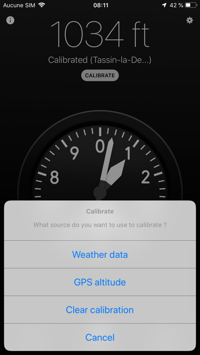
1. GPS calibration takes the current iOS/GPS altitude as a starting point then uses the barometer to track changes.
2. Calibration with weather data grabs current sea-level pressure and temperature at your location from a nearby weather station.
3. It can track very small relative variations but must be calibrated with weather data or GPS.
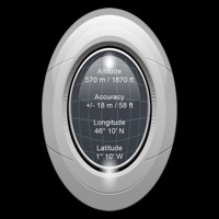
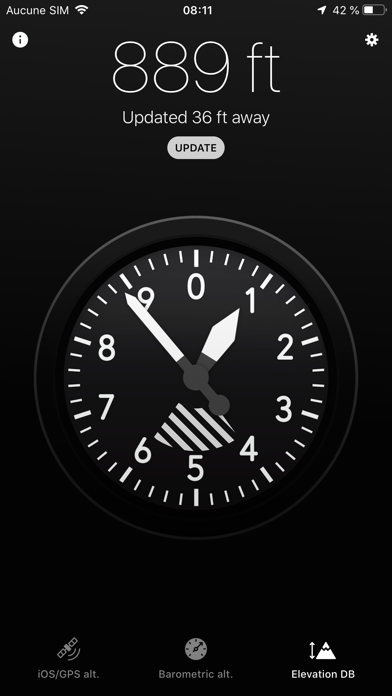
4. This method displays earth surface elevation at your location by polling an elevation database.
5. It works even with very imprecise location data but requires network access.
6. It works reasonably well in most situations but can't track small changes and can be unreliable indoor.
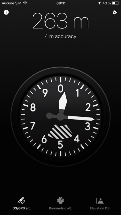
7. Altitude estimated by the device's location service.
8. Altitude based on the device's barometer.
9. Surface elevation usually includes buildings and trees.
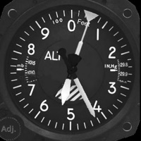
10. This is how most hardware altimeters work.
11. Liked Altimeter X? here are 5 Navigation apps like Google Maps; Waze Navigation & Live Traffic; ParkMobile: Park. Pay. Go.; Transit • Subway & Bus Times; Yahoo!カーナビ;
Or follow the guide below to use on PC:
Select Windows version:
Install Altimeter X app on your Windows in 4 steps below:
Download a Compatible APK for PC
| Download | Developer | Rating | Current version |
|---|---|---|---|
| Get APK for PC → | LiveWorlds | 2.50 | 3.1 |
Download on Android: Download Android
Needs better description
Simple, fun
Love it, but two fixes needed
Superb App
 PC Apps