Published by Vishwam B on 2019-12-17
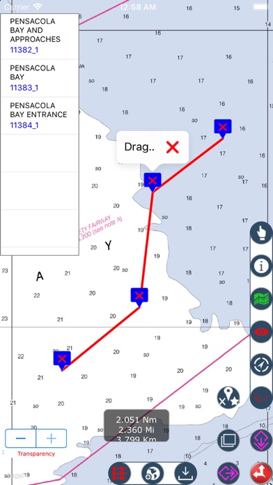
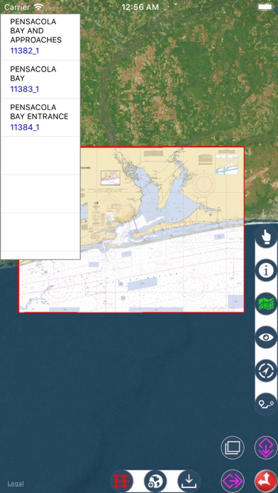
1. These charts are representation of navigational features such as land areas, water depths, contours, dredged areas, un-surveyed areas, obstructions, anchoring areas, buoys, beacons, lights, signal stations, rocks, wrecks, port & harbour channels, seabeds, pile points, under water power & pipelines, radar stations, marinas, towers, silos and hundreds of standard navigation symbols and aids that are useful for navigation as reference.
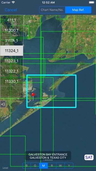
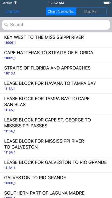
2. • Search Nautical charts by name or chart number if user is aware.
3. Nautical Charts map is a boating charts viewer which provides un-quilted NOAA nautical charts.
4. These charts contain crucial information for sailors and boaters.
5. • Download & Store desired charts for any region.
6. • Auto assigns seamless boundary for all loaded charts.
7. • Background downloading for larger sized charts.
8. • Set Transparency and compare Map & Nautical chart overlay.
9. • Manage desired colour to chart sequence for visibility.
10. Highlights Selected Charts.
11. • Turn On/Off chart boundaries at user convenience.
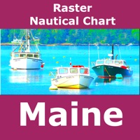
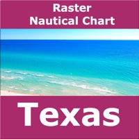
12. Liked US Nautical Charts? here are 5 Navigation apps like California – Nautical Charts; Boating Hawaii Nautical charts; Marine Alaska S. E. GPS Charts; Lakes Texas GPS fishing charts; Iowa lakes - charts offline;
Or follow the guide below to use on PC:
Select Windows version:
Install US Nautical Charts – Boating app on your Windows in 4 steps below:
Download a Compatible APK for PC
| Download | Developer | Rating | Current version |
|---|---|---|---|
| Get APK for PC → | Vishwam B | 1.00 | 3.5 |
Get US Nautical Charts on Apple macOS
| Download | Developer | Reviews | Rating |
|---|---|---|---|
| Get $1.99 on Mac | Vishwam B | 1 | 1.00 |
Download on Android: Download Android
 PC Apps