Published by VIDUR on 2018-03-22

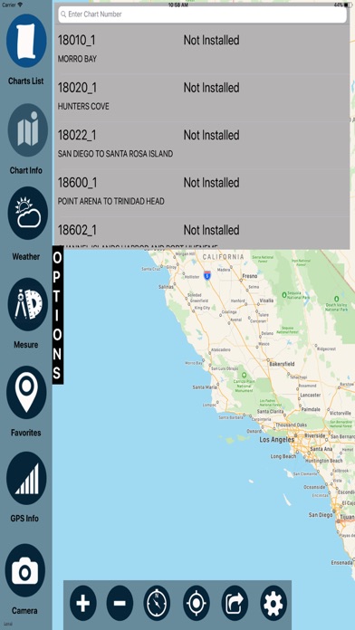
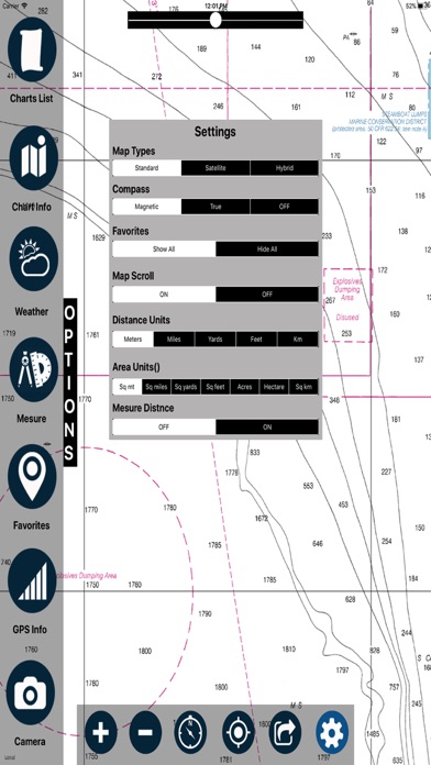

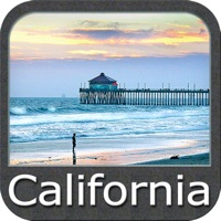
1. All raster charts portray water depths, coastlines, dangers, aids to navigation, landmarks, bottom characteristics and other features.
2. Charts show water depths and the delineation of shoreline, prominent topographic features and landmarks, aids to navigation, and other navigational information.
3. Experience realtime enthusiasm of boating, Sailing & Fishing with the real-time NOAA's Raster Nautical Charts Overlay.
4. A nautical chart is a work area on which the navigator plots courses, ascertains positions, and views the relationship of the ship to the surrounding area.
5. Raster Navigational Charts can be used with global positioning system (GPS).
6. Continued use of GPS running in the background can dramatically decrease battery life.
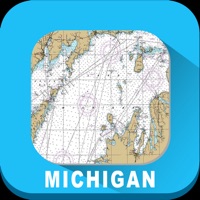
7. Liked Cali? here are 5 Navigation apps like California – Nautical Charts; calimoto Motorcycle Routes; California Road Report; Road Conditions - California; California Traffic;
Or follow the guide below to use on PC:
Select Windows version:
Install California Marine Charts RNC app on your Windows in 4 steps below:
Download a Compatible APK for PC
| Download | Developer | Rating | Current version |
|---|---|---|---|
| Get APK for PC → | VIDUR | 1.00 | 1.0 |
Get California Marine Charts RNC on Apple macOS
| Download | Developer | Reviews | Rating |
|---|---|---|---|
| Get $2.99 on Mac | VIDUR | 1 | 1.00 |
Download on Android: Download Android
 PC Apps