
Published by ESRI on 2024-11-27
What is ArcGIS Runtime SDK Samples? The ArcGIS Runtime SDK for iOS app provides interactive samples to explore the SDK's capabilities and learn how to incorporate them into your own apps. The app allows you to view the code behind each sample and see how easy it is to use the SDK.
1. Explore the ArcGIS Runtime SDK for iOS with dozens of interactive samples.
2. Experience the SDK's powerful capabilities and learn how to incorporate them into your own apps.
3. View the code behind each sample from within the app and see how easy it is to use the SDK.
4. Liked ArcGIS Runtime SDK Samples? here are 5 Education apps like IELTS General and Academic Writing - Important Tips,High Scoring Sample Answers!; IELTS Speaking Box Tips Skills Strategies Samples; Decodable Readers L1 Sample; English Grammar in Use: Sample;
Or follow the guide below to use on PC:
Select Windows version:
Install ArcGIS Runtime SDK Samples app on your Windows in 4 steps below:
Download a Compatible APK for PC
| Download | Developer | Rating | Current version |
|---|---|---|---|
| Get APK for PC → | ESRI | 4.70 | 100.15.3 |
Get ArcGIS Runtime SDK Samples on Apple macOS
| Download | Developer | Reviews | Rating |
|---|---|---|---|
| Get Free on Mac | ESRI | 10 | 4.70 |
Download on Android: Download Android
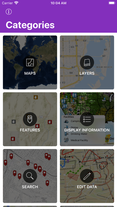
- Maps: Open, create, interact with, and save maps.
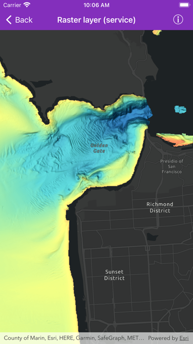
- Layers: Display vector and raster data in maps and scenes.
- Work with Feature layers and geodatabases.
- Edit Data: Add, delete, and edit features and attachments.
- Display Information: Show graphics, popups, callouts, and sketches.
- Search: Find addresses, places, and points of interest.
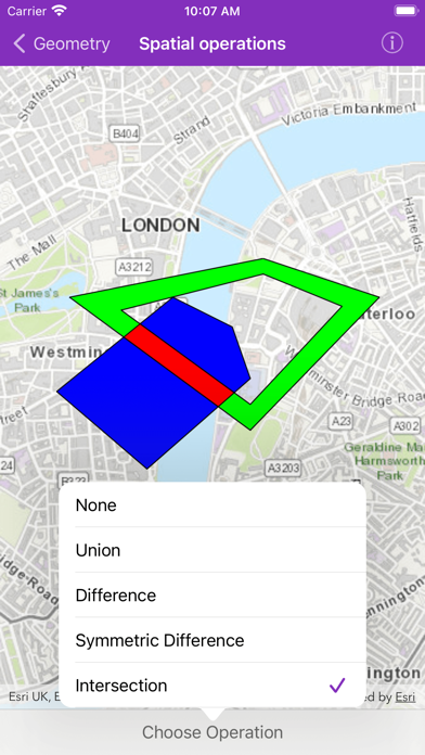
- Geometry: Create geometries and perform geometric operations.
- Route & Directions: Calculate routes between locations and around barriers.
- Analysis: Perform spatial analysis via geoprocessing tasks and services.
- Cloud & Portal: Search for webmaps and list portal group users.
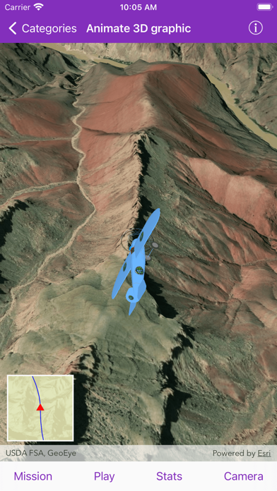
- Scenes: Visualize 3D environments and symbols.
- Utility network: Work with utility networks, performing traces and exploring network elements.
- Augmented reality: View data overlaid on the real world through your device's camera.
 PC Apps