Last Updated by ExaMobile S.A. on 2024-05-29
What is GPS Altimeter?
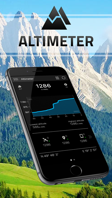
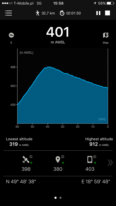
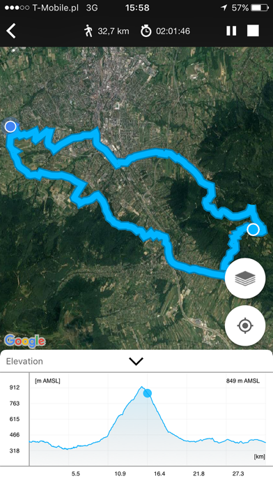
Altimeter is a smart tracking app that allows users to measure altitude, elevation, and localization coordinates with high precision. It is perfect for outdoor enthusiasts who love hiking, skiing, mountain biking, and other activities. The app works both online and offline, using GPS satellites triangulation, barometer pressure sensor, and online networks location services.
1. It is perfect app for people who love hiking, skiing, mountain biking and other outdoor activities.
2. - online networks location services (wifi and other) - need internet connection.
3. Any time and with high precision you can check altitude, elevation or localization coordinates.
4. This apps works in the background to proper operation uses GPS.
5. Altimeter is a smart tracking devices, used to altitude measure.
6. Continued use of GPS running in the background can dramatically decrease battery life.
7. It works online and offline.
8. Liked GPS Altimeter? here are 5 Utilities apps like Barometer & Altimeter & Thermo; Up High - Barometric Altimeter; Altimeter : Compass and GPS; Altimeter & Barometer; Map Altimeter;
Or follow the guide below to use on PC:
Select Windows version:
Install GPS Altimeter - Altitude & Map app on your Windows in 4 steps below:
Download a Compatible APK for PC
| Download | Developer | Rating | Current version |
|---|---|---|---|
| Get APK for PC → | ExaMobile S.A. | 4.83 | 3.0 |
Get GPS Altimeter on Apple macOS
| Download | Developer | Reviews | Rating |
|---|---|---|---|
| Get Free on Mac | ExaMobile S.A. | 137 | 4.83 |
Download on Android: Download Android
- Accurate measurement of altitude in meters or feet
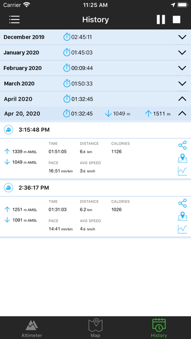
- Recording sports activities with a map of the route traveled
- Record of lowest (low) and highest (max) altitude
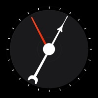
- Smart mini compass
- Full GPS coordinates - latitude and longitude
- Current localization name and state
- Results of measurements are shown in the chart
- Ability to stop and record the results of measurements at any time
- Invert background color (black and white)
- Sharing with others your achievements (photo taking function with the current altitude above sea level)
- Premium version includes no ads, activity stats, checkpoints, analog drum-type aircraft altimeter, full history and archives of measurements, tracking map with altitude chart, and sunrise and sunset times
- Works in the background and uses GPS, which can decrease battery life.
 PC Apps