Last Updated by TappiApps on 2025-04-02
What is Distance and Area Measure?
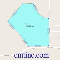
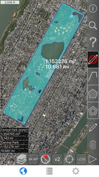
The app allows users to measure land, roads, parks, countries, lakes, etc from a satellite view and calculates distances, areas, and perimeters. It offers features such as custom distance and area units, drawing interior polygons, adding a point to the middle of a path, swapping two points in a path or polygon, and adding current location from GPS receiver.
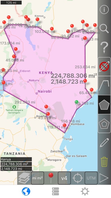
1. Measure land, roads, parks, countries, lakes, etc from a satellite view.
2. - Add a point to the middle of a path (Most only allow you to add to the end of the path) Tap to add to the end of a path.
3. For example, land area with bodies of water removed.
4. Long press to add to the middle of a path.
5. Calculates distances, areas, and perimeters.
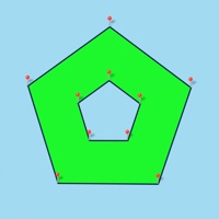
6. - Draw interior polygons.
7. - 4 verbosity modes.
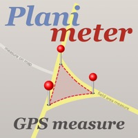
8. Liked Distance and Area Measure? here are 5 Productivity apps like Acre & Area & Acreage; Hectares, Area Calc/Converter; Planimeter — Measure Land Area; Aquarium Size,Area Calculator; my MEO - Área de Cliente;
Or follow the guide below to use on PC:
Select Windows version:
Install Distance and Area Measure app on your Windows in 4 steps below:
Download a Compatible APK for PC
| Download | Developer | Rating | Current version |
|---|---|---|---|
| Get APK for PC → | TappiApps | 1 | 2.6 |
Get Distance and Area Measure on Apple macOS
| Download | Developer | Reviews | Rating |
|---|---|---|---|
| Get $5.99 on Mac | TappiApps | 0 | 1 |
Download on Android: Download Android
- 3 map layer options
- Export and import .kml files via Dropbox, iCloud, email, etc
- Draggable and manually editable pins
- Name, notes, and color fields for each path and polygon
- Email or text message path and polygon data
- 4 verbosity modes
- Search by postal code, city, address, etc
- Get addresses near point on map
- 4 drawing modes: Path, Polygon, Polygon with hollow spaces inside, No edit mode
- Values displayed for paths: Total distance, Incremental distance for each waypoint
- Values displayed for polygons: Area, Perimeter, Distance for each side
- Add points to a path or polygon in 1 of 4 ways: Tap on the map, Use current location, Enter coordinates manually, Import .kml file
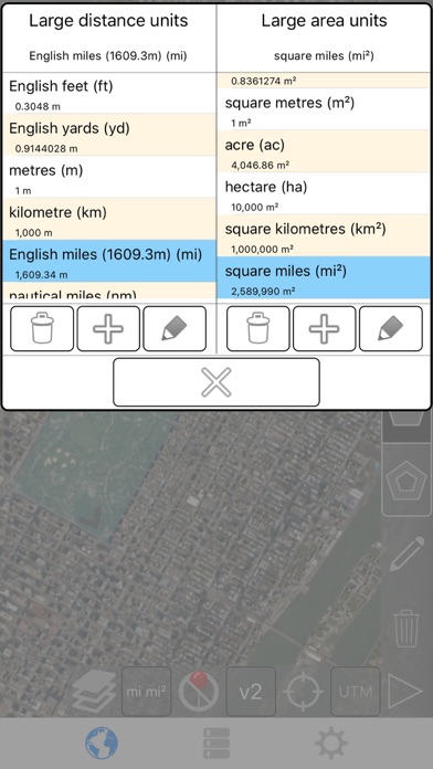
- Default distance units include: Meter (m), Foot (ft), Yard (yd), Kilometer (km), Mile (mi), Nautical mile (nm)
- Default area units include: Square meter (m²), Square foot (ft²), Square yard (yd²), Square kilometer (km²), Square mile (mi²), Square nautical mile (nm²), Square acre, Square hectare
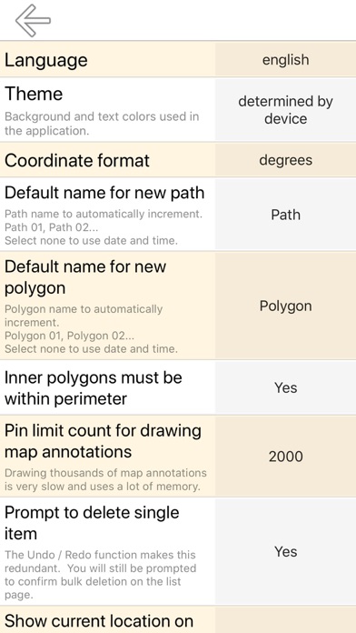
- Coordinate formats: Degrees, Degrees, minutes, Degrees, minutes, seconds, UTM / UPS (Universal Transverse Mercator) / (Universal Polar Stereographic), MGRS (Military Grid Reference System)
 PC Apps