Last Updated by VisTech.Projects LLC on 2024-08-27
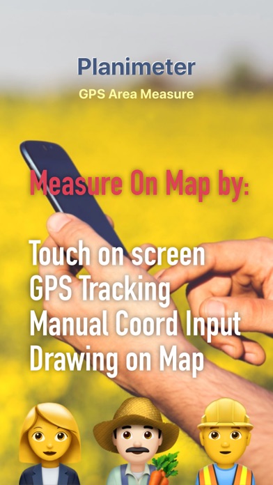
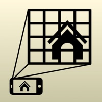
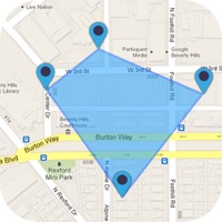
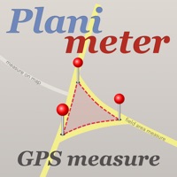
What is Planimeter GPS Area Measure? Planimeter is a measurement app that allows users to measure distance, area, and perimeter on a map. It can be used manually or by GPS tracking and is useful for outdoor activities and land surveying by amateurs and professionals in various industries. The app also allows users to label, save, and share points in KML format.
1. This measurement app is useful for outdoor activities and can be used as land surveyor by amateurs and professionals in various industries like sport, farming, landscaping, paving and construction, road building and repairing, real estate business, hiking and travel, fencing, lot building and planning, solar panel installation (roof area estimation), object mapping, lawn design, and many other where land area and distance / length calculations, land survey or maps are involved.
2. - agriculture, poultry and farming: harvesting, fertilizing, crops (corn, wheat, maize, beet, etc.) planning and estimation, field area measure, paddocks and area fencing for cows, horses, chickens, rabbits, etc.
3. - other: ponds size and are measure; pole lines planning; movement tracking; get exact GPS coordinates of way-points; fence calculation; geocaching.
4. - garden and yard: landscape planning, grass cutting, lawn care and mowing, fencing, grass seeding.
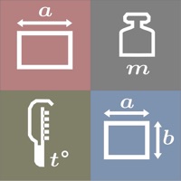
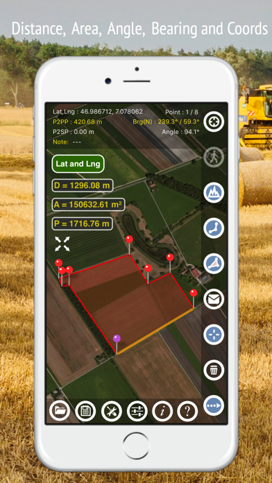
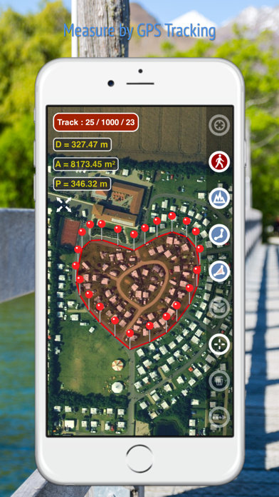
5. Planimeter is a tool to measure distance, area and perimeter on a map.
6. You can measure manually or by GPS tracking.
7. Note: Continued use of GPS running in the background can dramatically decrease battery life.
8. Feel free to contact support@vistechprojects.com with any questions, comments or bug reports.
9. If you like the app and find it useful please support us with your feedback and comment.
10. You can also check the bearing and geo-coordinates of your location and share it.
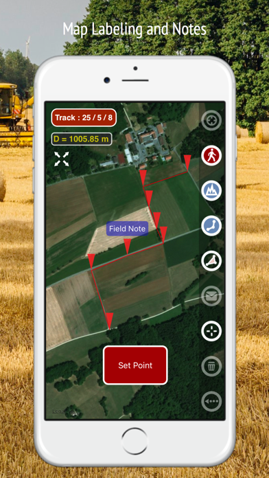
11. Points can be labeled, saved and shared in KML format.
12. Liked Planimeter GPS Area Measure? here are 5 Productivity apps like Planimeter — Measure Land Area; map measure planimeter : land area and distance; measure map planimeter pro : land area distance; My Measures PRO + AR Measure; My Measures + AR Measure;
GET Compatible PC App
| App | Download | Rating | Maker |
|---|---|---|---|
 Planimeter GPS Area Measure Planimeter GPS Area Measure |
Get App ↲ | 486 4.17 |
VisTech.Projects LLC |
Or follow the guide below to use on PC:
Select Windows version:
Install Planimeter GPS Area Measure app on your Windows in 4 steps below:
Download a Compatible APK for PC
| Download | Developer | Rating | Current version |
|---|---|---|---|
| Get APK for PC → | VisTech.Projects LLC | 4.17 | 2.1.15 |
Get Planimeter GPS Area Measure on Apple macOS
| Download | Developer | Reviews | Rating |
|---|---|---|---|
| Get $5.99 on Mac | VisTech.Projects LLC | 486 | 4.17 |
Download on Android: Download Android
- Accurate distance and area calculation
- Metric and Imperial units (m, km, feet, yards, miles, ha, acres)
- Angle between lines
- Bearings To and From the point
- GPS coordinates of a point
- GPS accuracy settings (if GPS available)
- Manage previously saved projects: open, save, share KML files
- KML files created by Planimeter can be imported to GEarth and GMaps to view on a desktop
- Send data by email: picture, coordinates as text message, KML file
- Save KML or TXT in local storage
- Map/Satellite View
- Zoom and Edit points
- Current location search
- Text (address) search
- Delete selected/last/all points
- Zoom to Fit-in and center points on a screen - quick points search
- Add points by touch
- Add current location as a point
- Show location with Latitude and Longitude coordinates
- Add points by Geo-coordinates: Lat and Lng
- Option to center last point added
- Option to show/hide lines
- Preferences: location accuracy, tracking time interval, delete points confirmation, sound option for tracking
- Separate units settings for distance, area, perimeter
- Target Mode for accurate pin placement
- Show current coordinates in Target Mode
- Stylus Draw Mode
- Full-screen option
- GPS TRACKING
- Manual pin placement in GPS Tracking
- Works well in documenting field boundaries for agricultural purposes
- Matches high-precision Garmin unit on clear days
- Faster job of documenting areas via screenshots
- Exports raw data points
- Not user-friendly, difficult to enter an address
- Cloudy days with worse GPS signal require use of smaller handheld hardware unit
- No address search function
- Instructional videos do not include a narrative
- Only accurate with 3m, not suitable for land disputes
Great app
Good for walking field boundaries
Not user friendly. How to enter an address
Garbage
 PC Apps